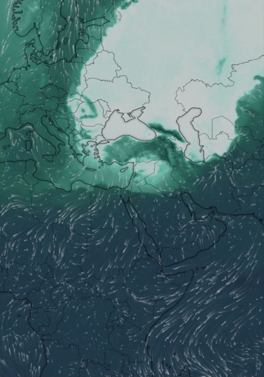
The Siberian low-pressure system reaches Syria.

The Siberian mass started entering Syria on the evening of Friday, 21/02/2025, through the northern gateway. This led to a significant drop in temperatures, affecting the northern provinces of Syria first, then gradually extending to the western coastal areas. By the late hours of last night, the mass covered Damascus and all Syrian provinces.
The mass covering the country is characterized by extreme cold and semi-dry conditions, with expectations of snowfall at intervals, especially this evening, Saturday, and tomorrow, Sunday, in Damascus, its countryside, and all southern regions of Syria, as well as parts of the central provinces, especially Homs and its countryside, and parts of the eastern regions. The overall activity is expected to be weak. Any precipitation during Saturday night and Sunday in Syria will be snowy, with even Latakia and Tartous possibly experiencing snowfall or a mix without significant accumulation.
There is a significant warning for farmers and drivers about the formation of frost on roads, plastic houses, and lands during Saturday night, Sunday, and Monday, until Tuesday morning.