Lebanon receives French maps to demarcate the borders with Syria and end border smuggling.
May 13, 2025213 ViewsRead Time: 2 minutes
Font Size
16
Diplomatic efforts between Lebanon and Syria are accelerating to demarcate borders and regulate illegal crossings, amidst increasing regional and international efforts to achieve security stability along the shared borders.
Following a previous agreement in Jeddah between the Lebanese and Syrian defense ministers with Saudi support, France has intervened and handed Lebanese authorities maps dating back to the French mandate period, aiming to precisely define border points.
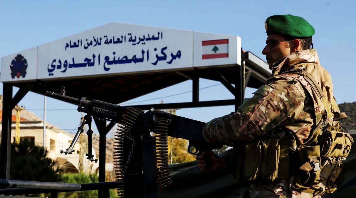
The maps delivered through the French ambassador in Beirut to the Lebanese Foreign Ministry are expected to contribute to enhancing the deployment of the Lebanese army along the borders and closing illegal crossings exploited by smugglers who manage to reopen them despite strict measures.
According to French diplomatic sources, Paris seeks to stabilize the region and prevent the renewal of recent clashes, working to keep communication channels open between Beirut and Damascus.
The maps did not only focus on the eastern and northern borders but also included the southern borders, especially the Shebaa Farms area, a subject of dispute between Lebanon and Syria due to differing positions on its identity, whether Lebanese or Syrian. Documents related to it have been handed over to the United Nations for legal review.
On the other hand, Lebanese security sources confirmed that the army has managed to close over a hundred illegal crossings with Syria, although the geographical nature of the region allows for some to be reopened.
The Lebanese army continued its missions in the south of the country under Resolution 1701, seizing ammunition and weapons belonging to Hezbollah, with support from residents of some villages who reported their presence without their knowledge.
These developments come amid a regional climate that encourages resolving border disputes through dialogue, with France and the international community seeing the current conditions as conducive to embarking on a clear negotiating path between Beirut and Damascus to end decades of tension and neglect regarding the demarcation of official borders.